Evasion
Members
Publications
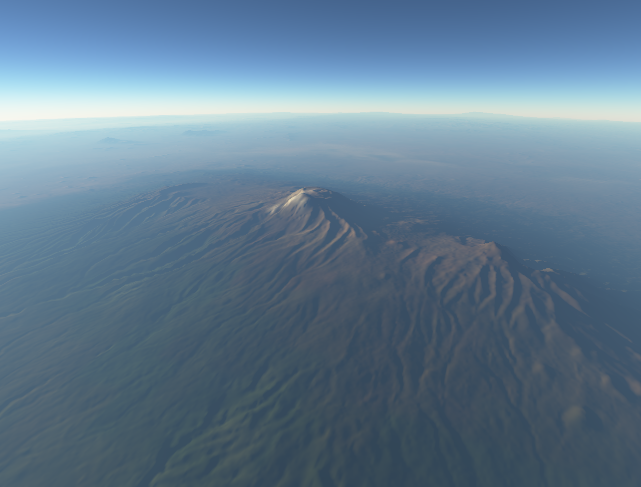
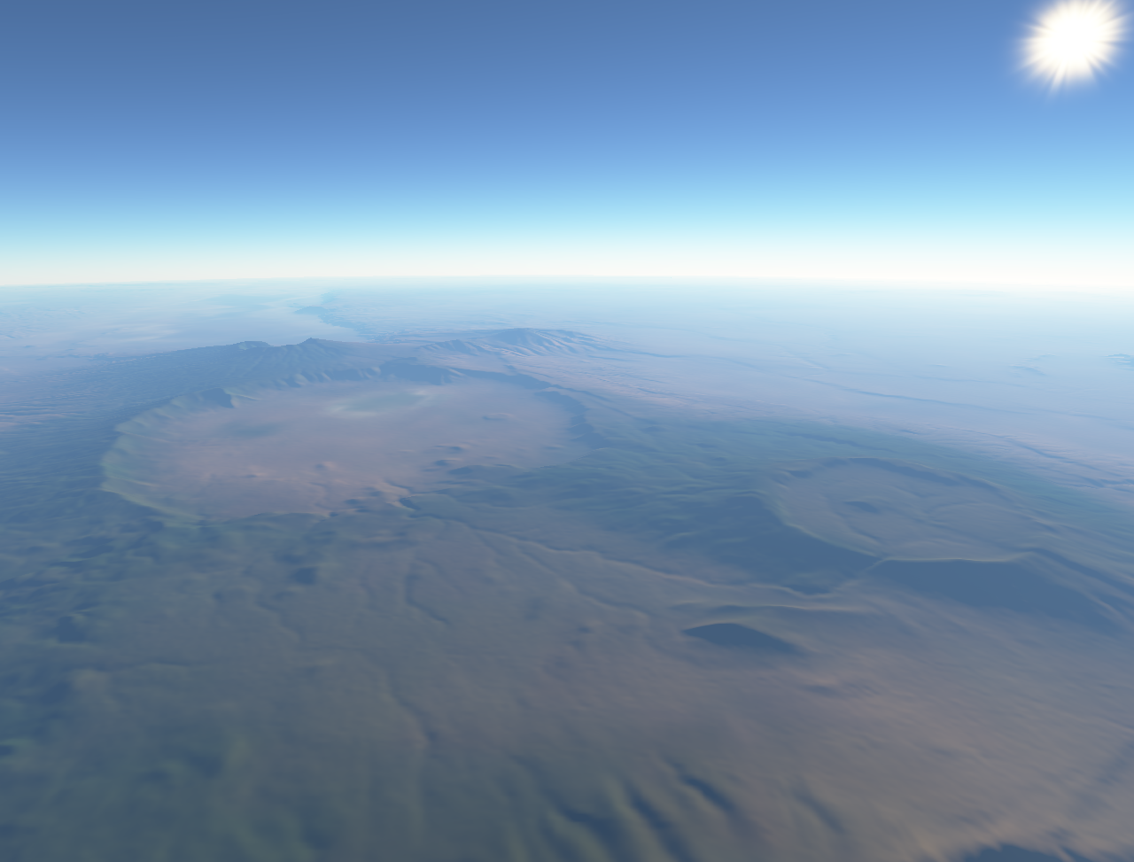
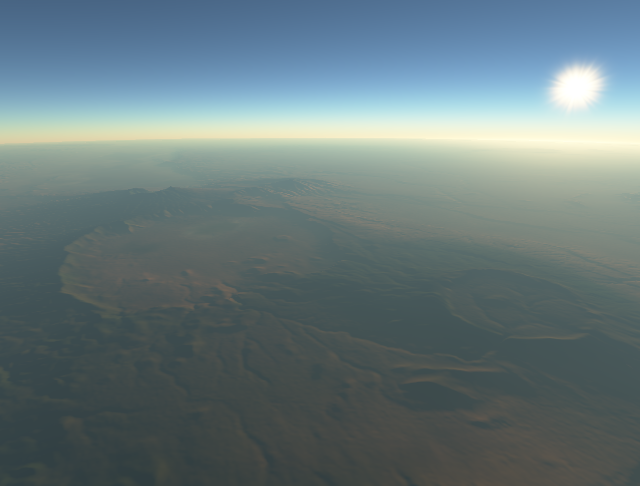
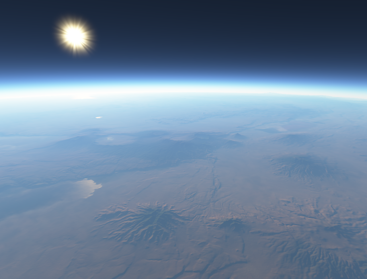
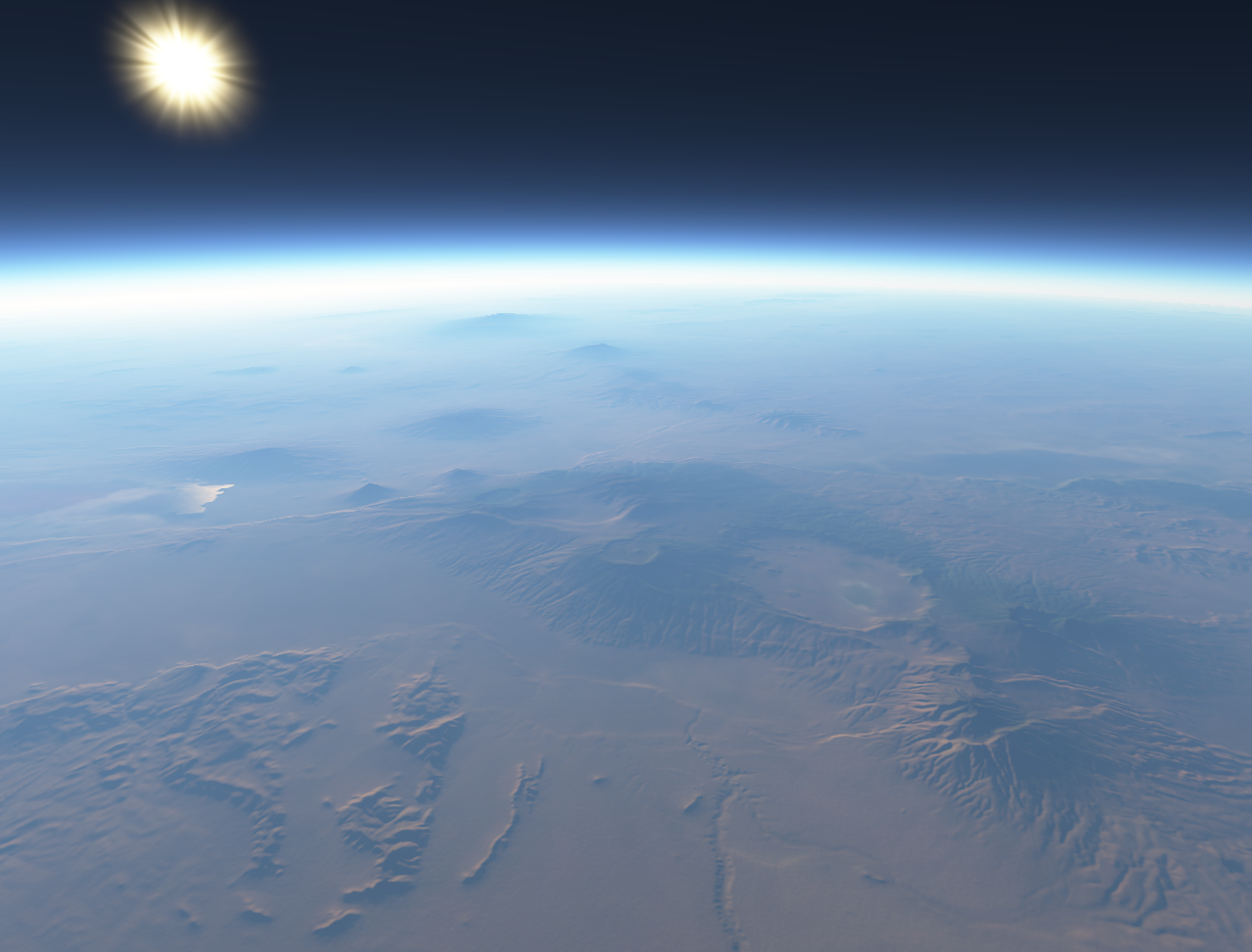
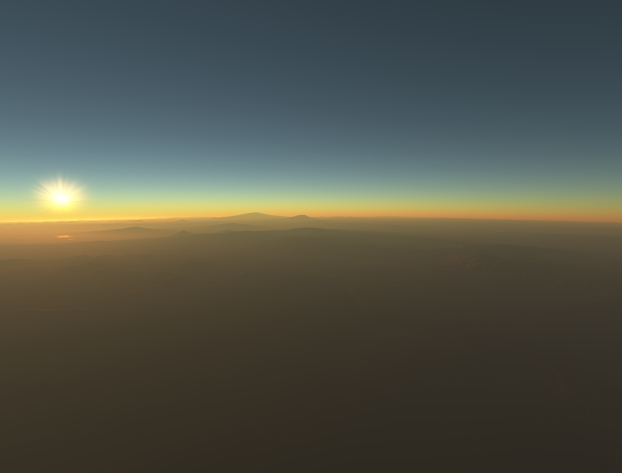
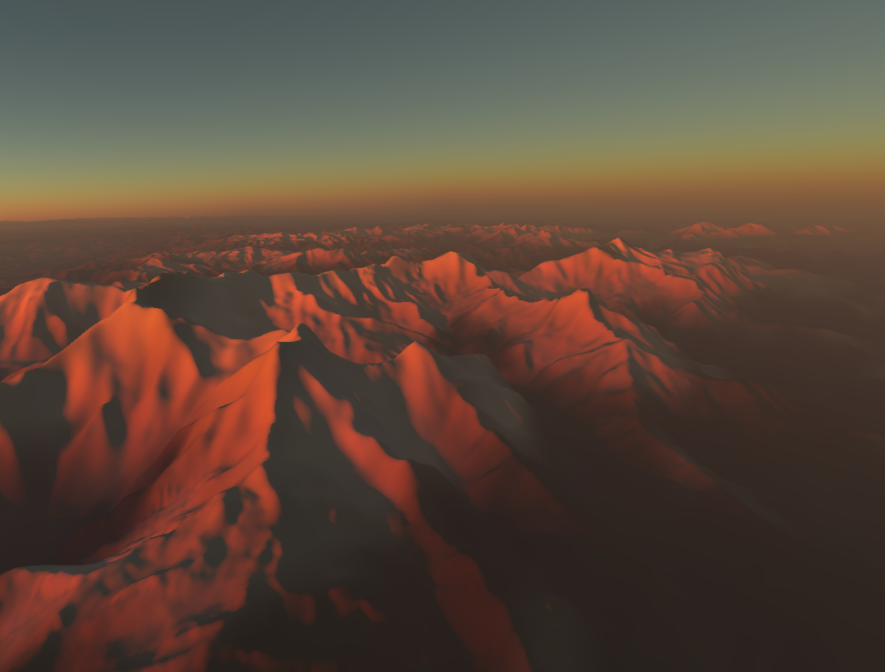
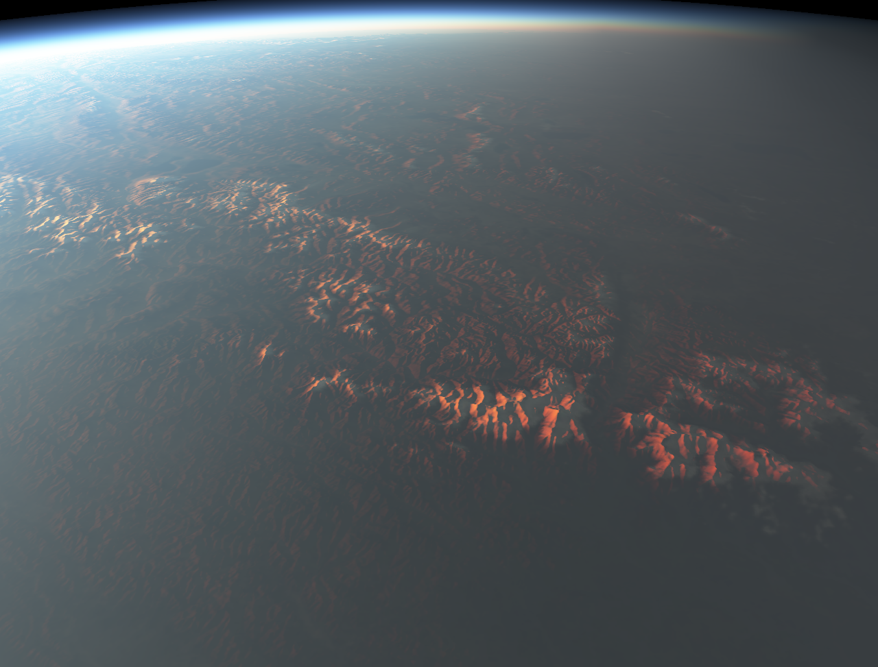
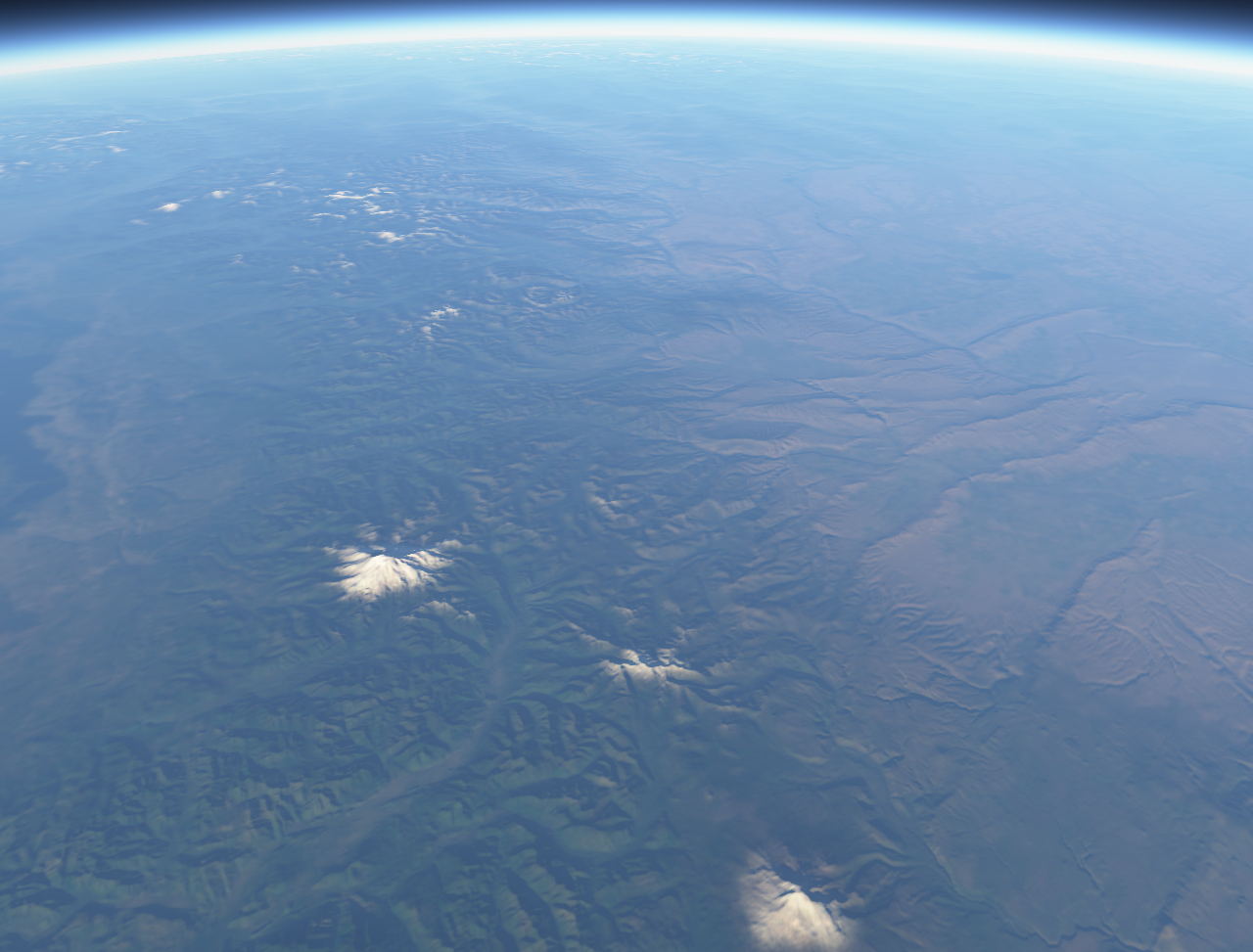
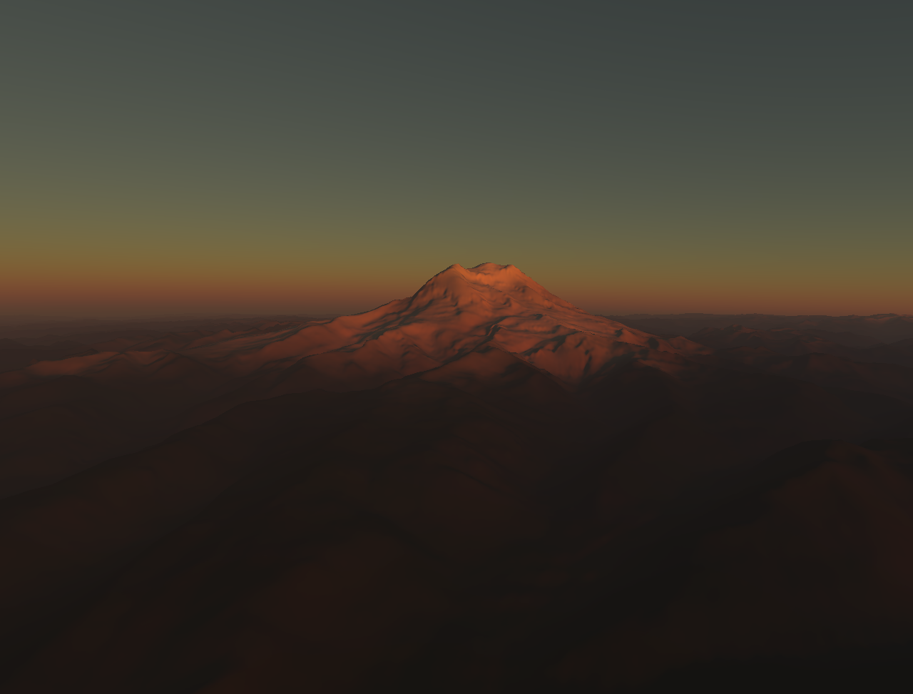
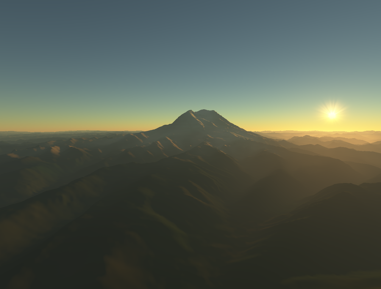
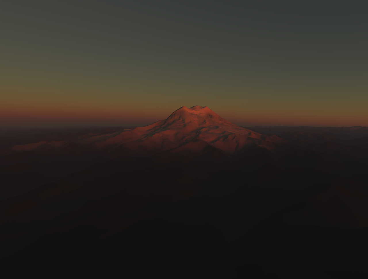
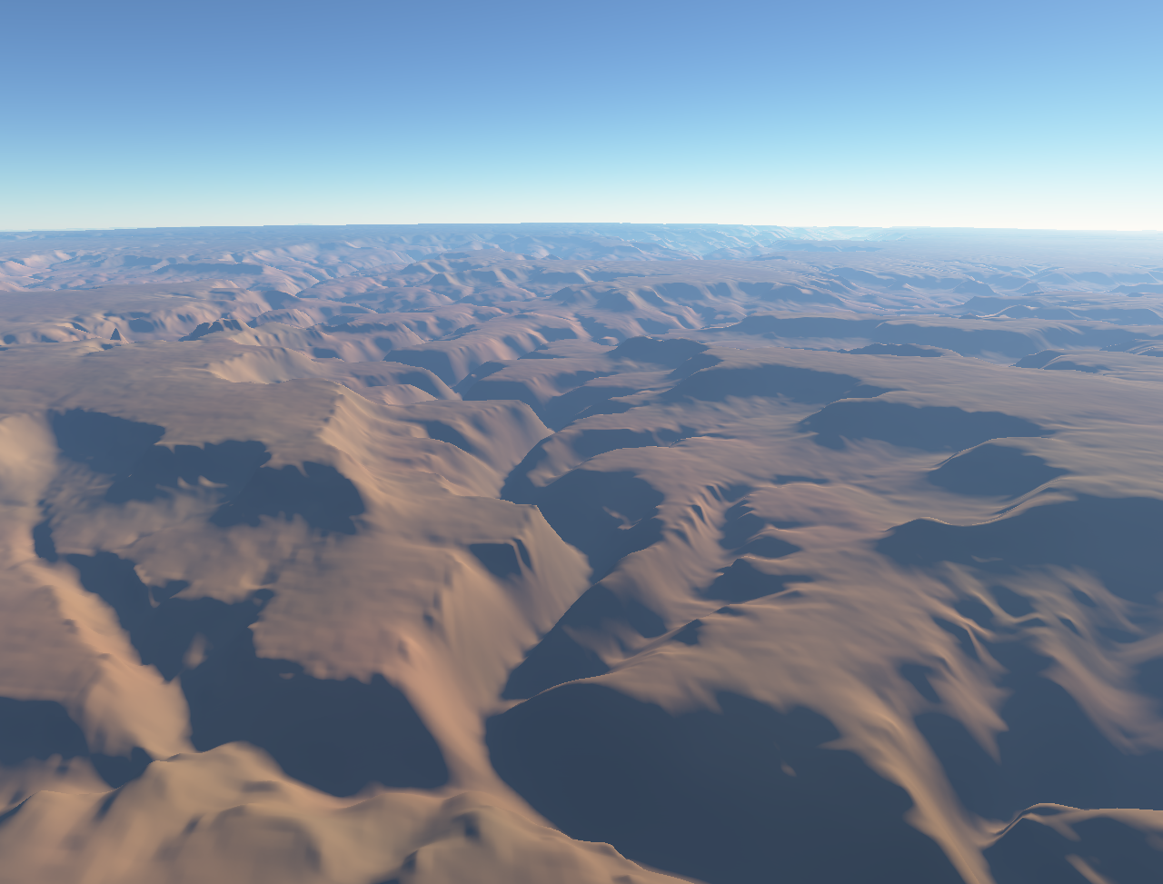
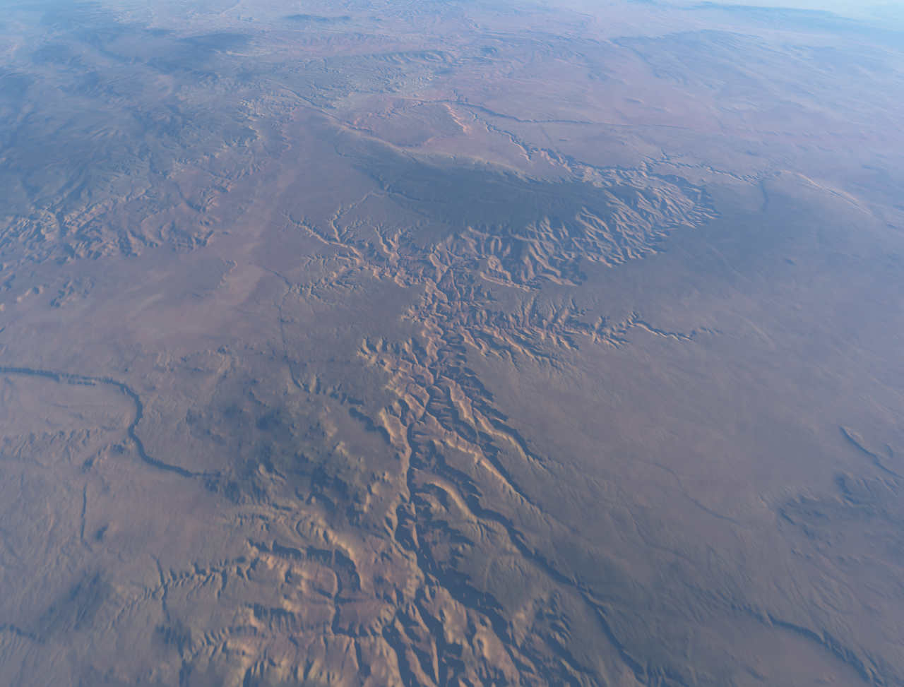
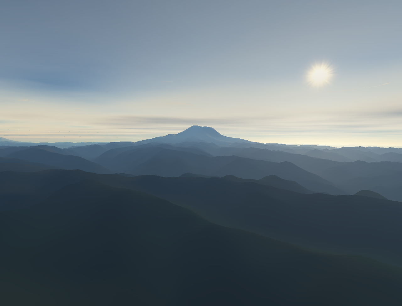
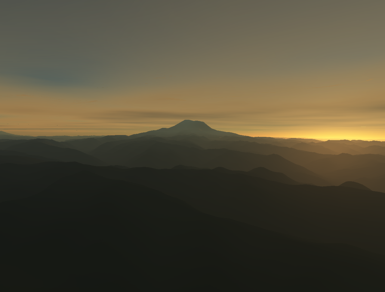
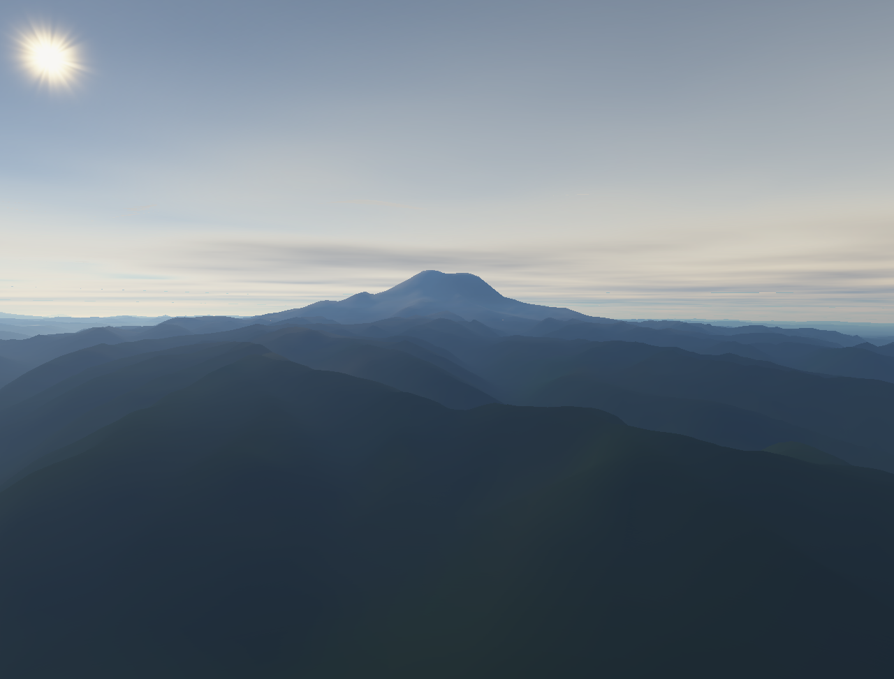
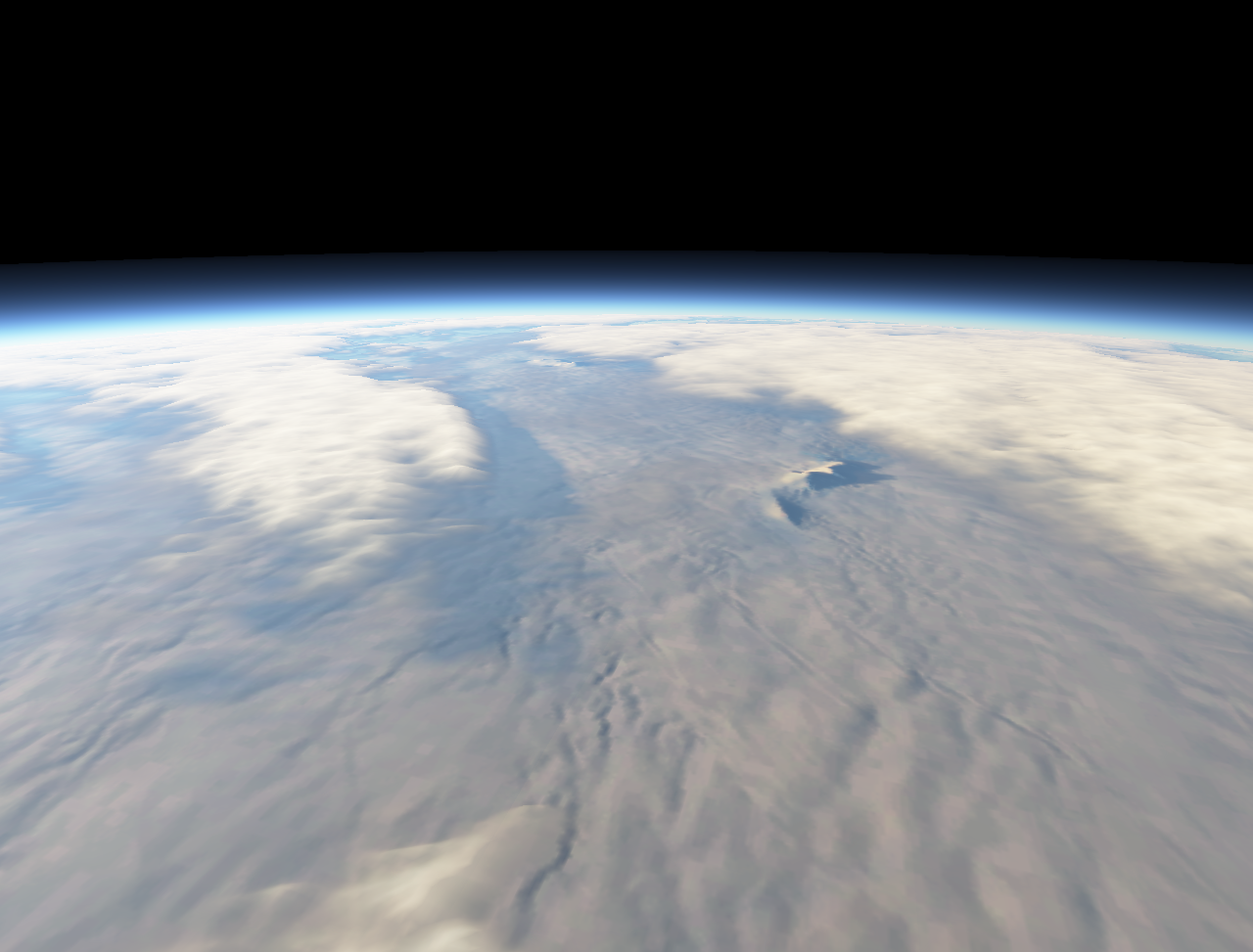
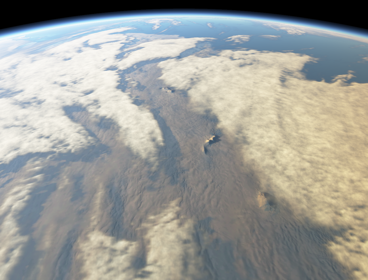
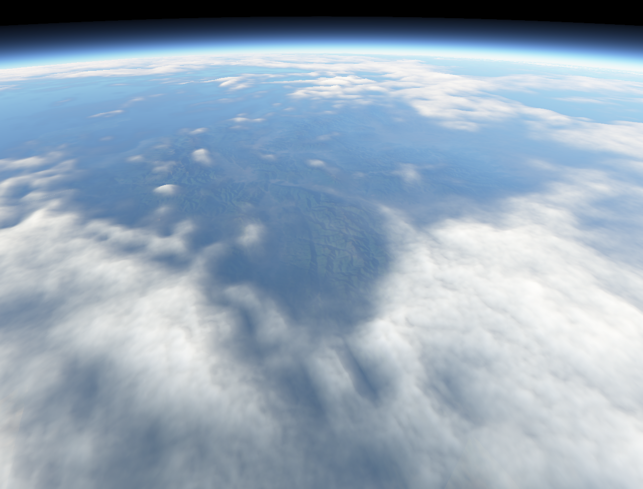
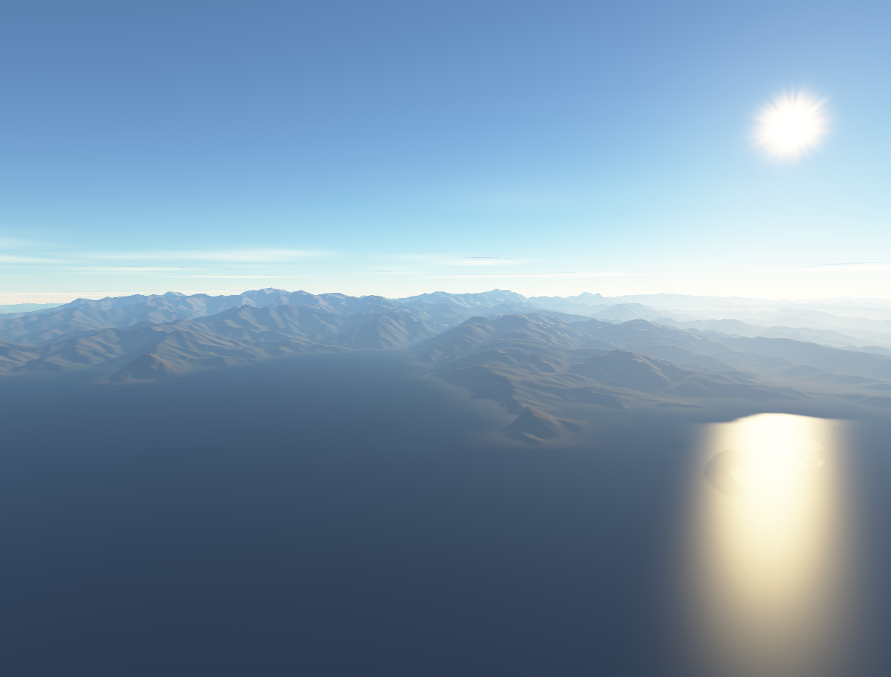
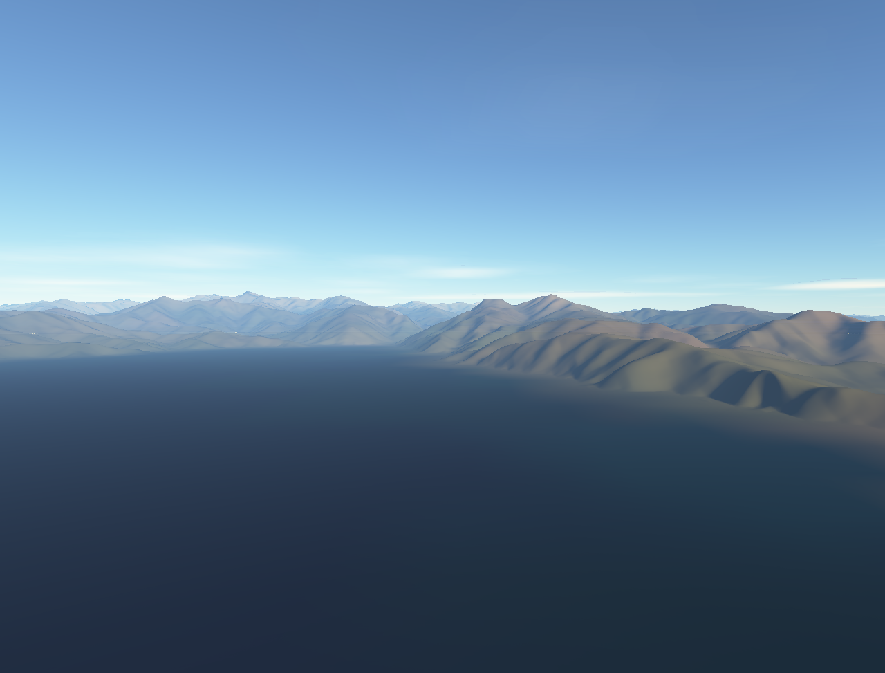
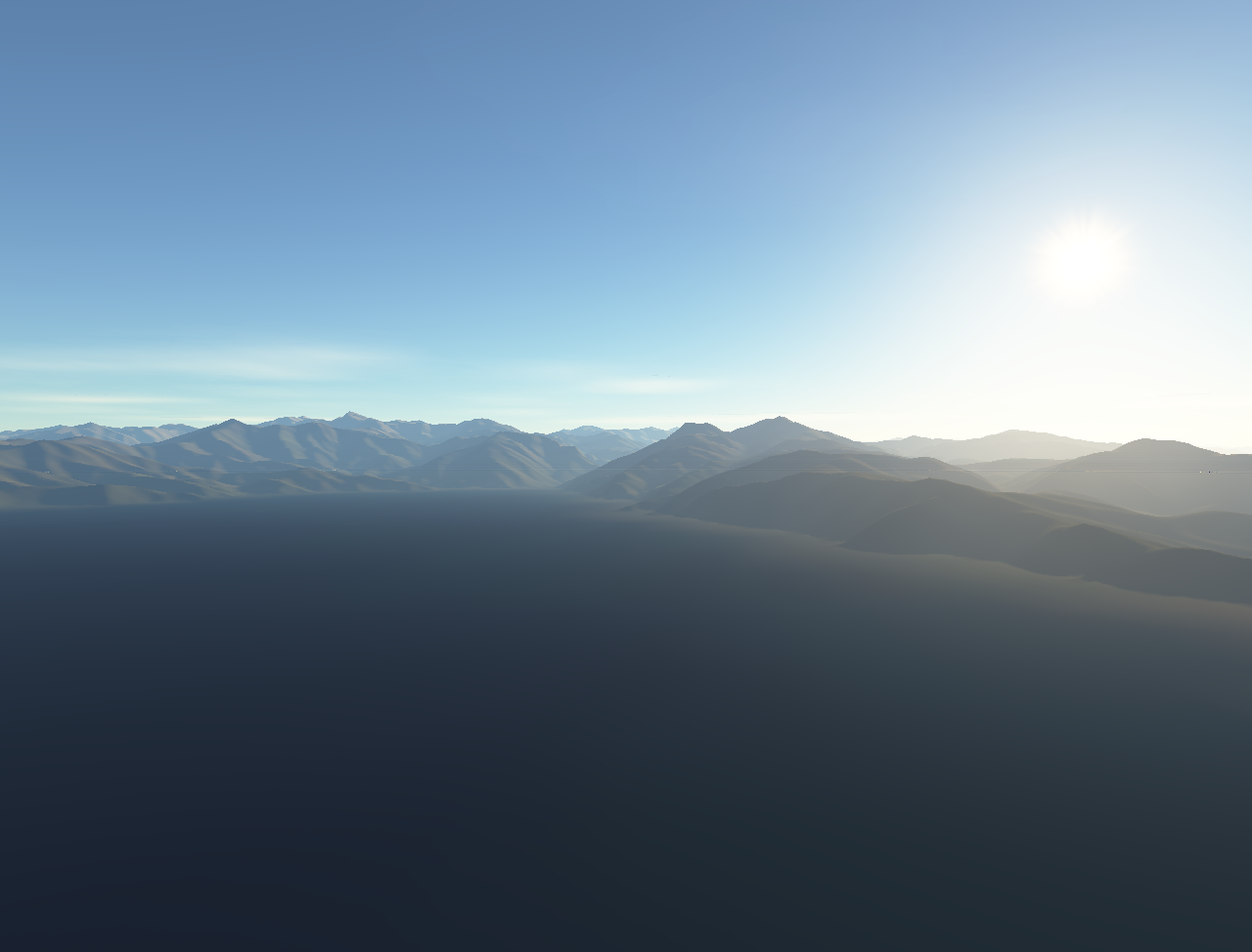
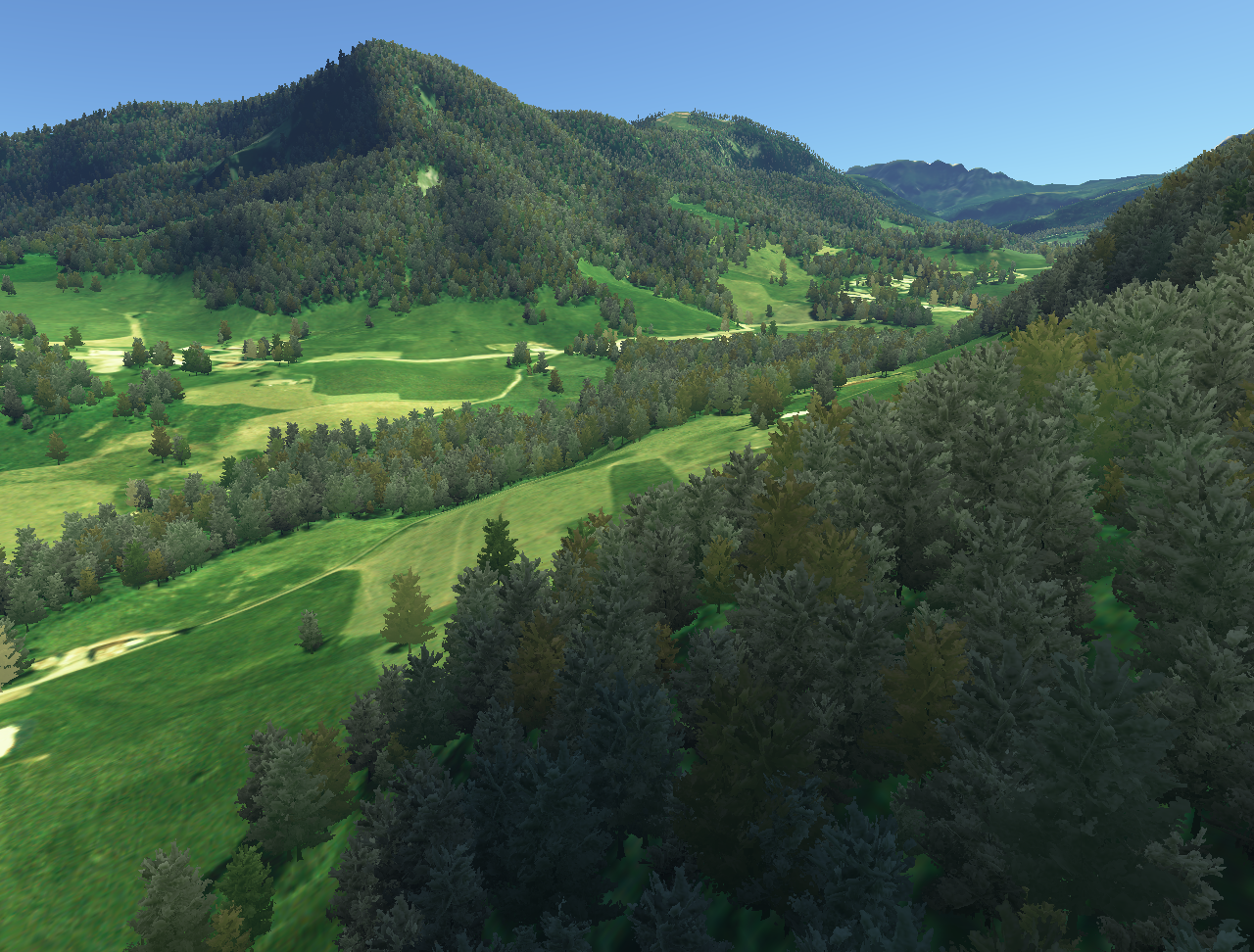
Images
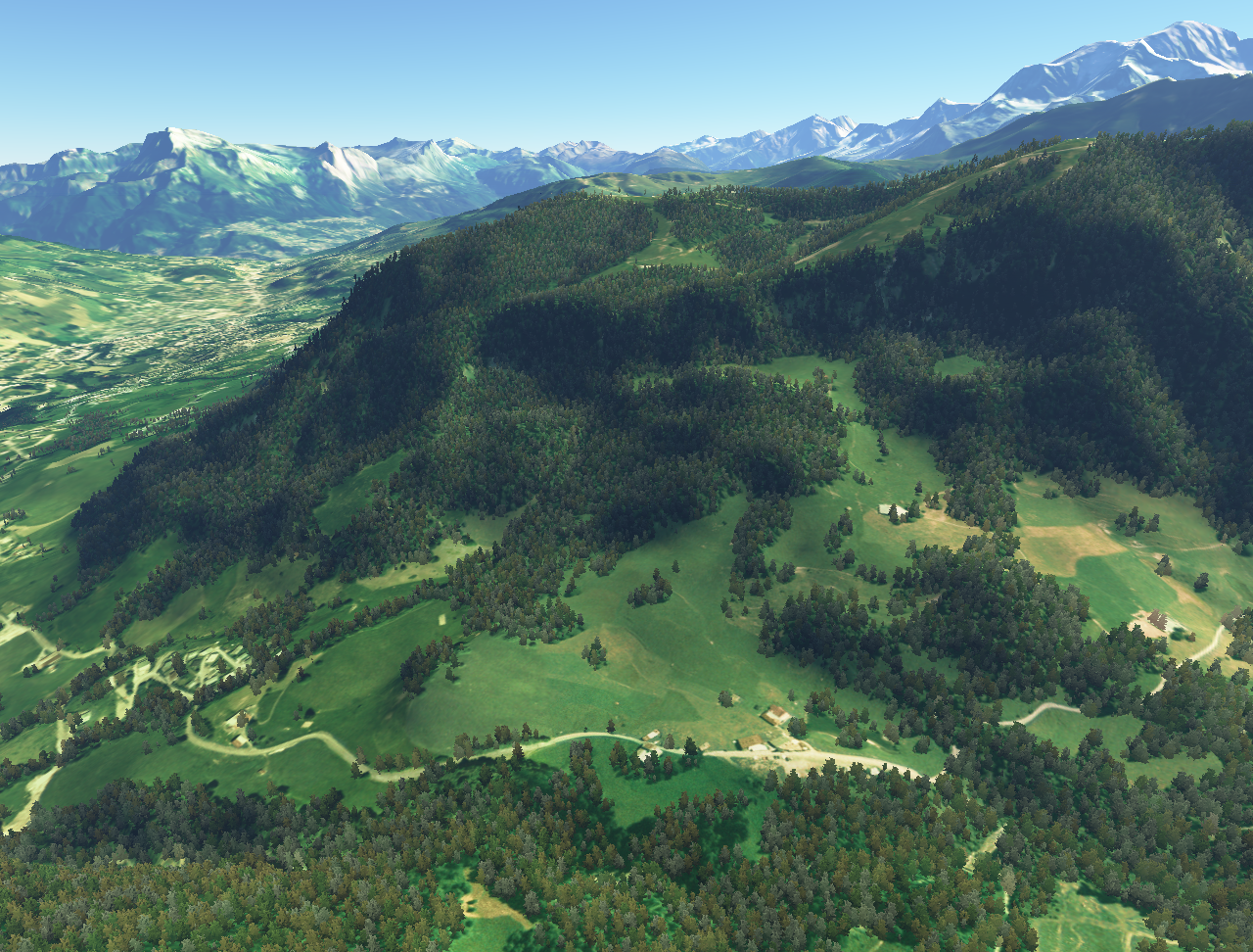
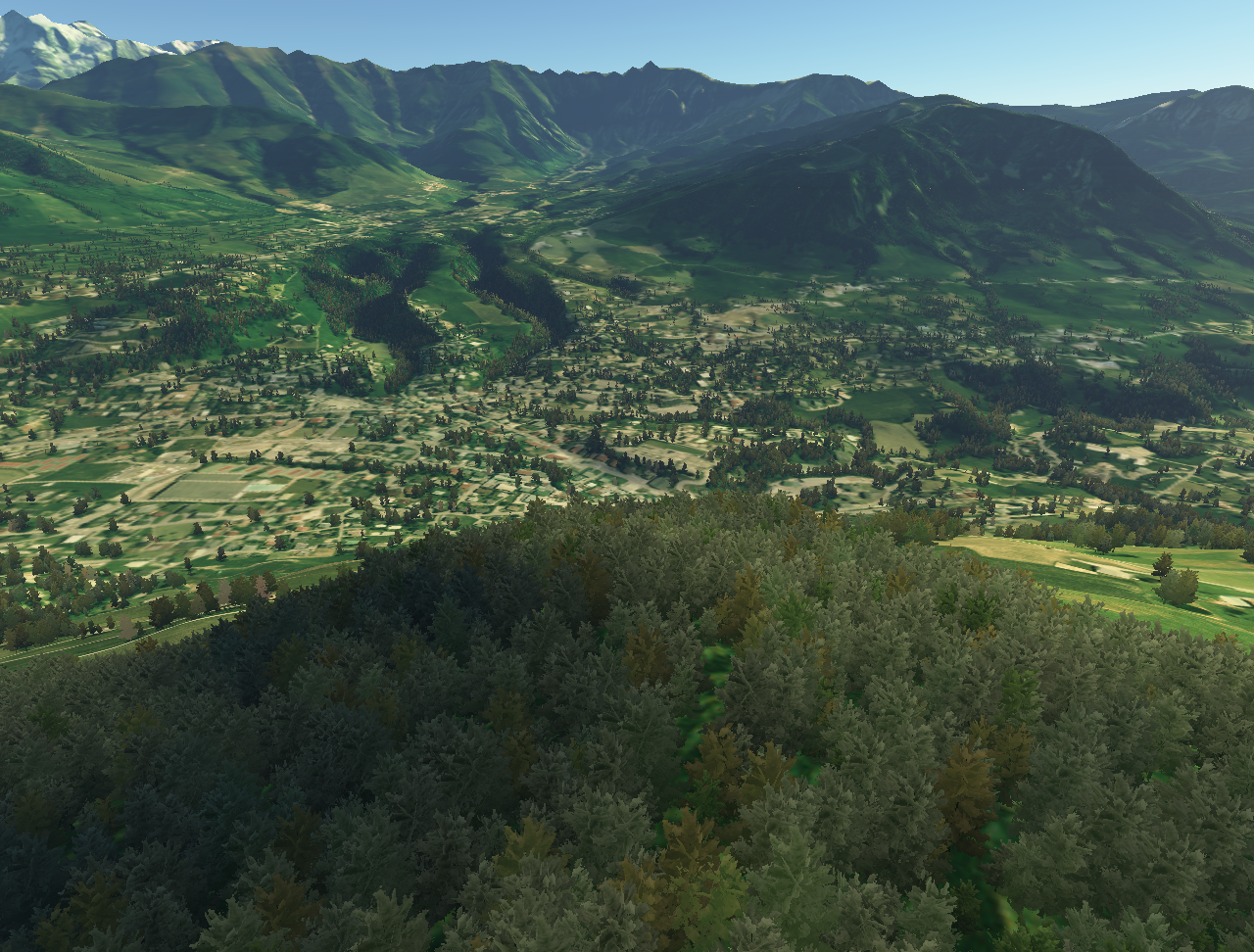
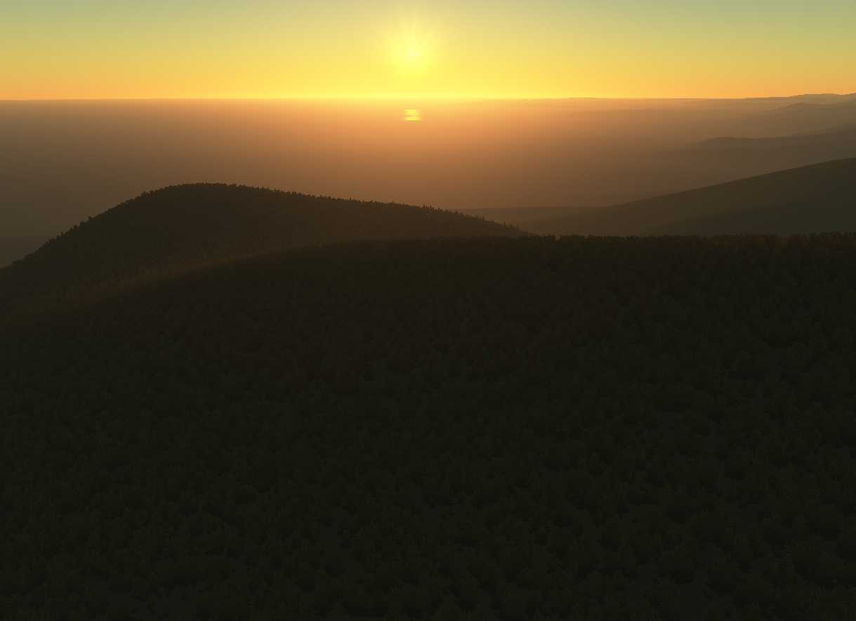
Images produced with
Proland
. The terrain data come from
Blue Marble Next Generation
from Nasa Earth Observatory (the whole Earth at 500 meters per pixel) and from the elevation data
SRTM v4
at 90 meters per pixel from CIAT.